Paper Maps for a Long Blackout
When cell towers lose backup power, phone maps stop loading and GPS apps without offline maps are useless. A paper road atlas for the whole U.S. plus a detailed atlas for your own state gets you to family, shelters, water, and fuel without a signal. Mark your routes in pencil before you need them.
As an Amazon Associate I earn from qualifying purchases. Cart buttons open Amazon's own add-to-cart page; you review and pay on Amazon, and Amazon ships to you. Nothing is bought automatically.
Start here: the U.S. road atlas
One national atlas covers interstates and highways in every state, plus Canada and Mexico.
What goes in the cart
- Rand McNally 2026 Road Atlas: United States, Canada, Mexico
Amazon will show a confirmation page listing every item before anything is added. Review that list, change quantities or remove anything you do not want, then click to add. Nothing is purchased until you check out on Amazon. Opens Amazon's own add-to-cart page with my Associates tag. As an Amazon Associate I earn from qualifying purchases.
Your state, paired with the U.S. atlas
- Arizona: U.S. atlas + Arizona atlas in one cart
- Texas: U.S. atlas + Texas atlas in one cart
- California: U.S. atlas + California atlas in one cart
- Florida: U.S. atlas + Florida atlas in one cart
- Minnesota: U.S. atlas + Minnesota atlas in one cart
Don't see your state? DeLorme (Garmin) publishes an Atlas & Gazetteer for every state. Search Amazon for "DeLorme Atlas Gazetteer" plus your state name.
National road atlases
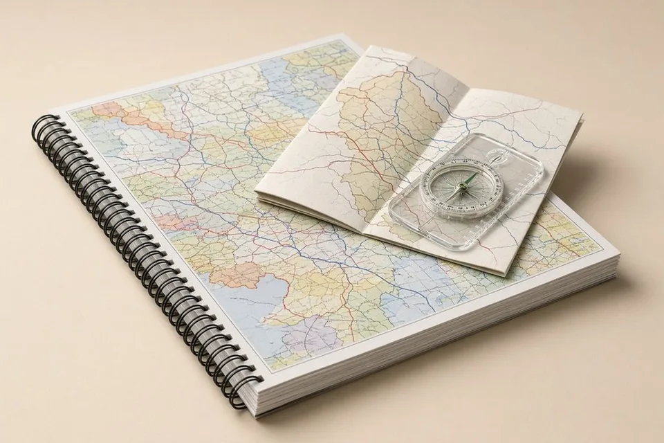
Rand McNally 2026 Road Atlas: United States, Canada, Mexico
Every state and province, 375 city insets. Keep one in each vehicle.
Add to Amazon cart View on Amazon
Rand McNally 2026 Large Scale Road Atlas
35% larger maps that are easier to read by headlamp. Lays flat.
Add to Amazon cart View on AmazonState atlases
DeLorme Atlas & Gazetteer: Arizona
Topographic detail, back roads, trailheads, and water features for Arizona.
Add to Amazon cart View on Amazon
DeLorme Atlas & Gazetteer: Texas
Statewide topo and back-road detail for Texas.
Add to Amazon cart View on Amazon
DeLorme Atlas & Gazetteer: California
Statewide topo and back-road detail for California.
Add to Amazon cart View on Amazon
Benchmark California Road & Recreation Atlas
Clean, current road and recreation maps; easier to read than topo atlases.
Add to Amazon cart View on Amazon
DeLorme Atlas & Gazetteer: Florida
Back roads, boat ramps, and evacuation-route planning for Florida.
Add to Amazon cart View on Amazon
DeLorme Atlas & Gazetteer: Minnesota
Back roads, lakes, and trailheads statewide for Minnesota.
Add to Amazon cart View on AmazonHow to use a paper map in an outage
- Mark home, each family meeting point, the nearest hospital, and two routes out of town in pencil.
- Add water sources, fuel stations, and the county emergency office.
- Keep one atlas in the car and one at home with your go-bag.
- Pair it with a baseplate compass and practice once in daylight.
Full kit: Paper Maps kit · Off-Grid Comms kit